Blender
Data Visualization
Tool
Blender is a free and open-source 3D computer graphics software tool set used for creating animated films, visual effects, art, 3D-printed models, motion graphics, interactive 3D applications and video games. I purposely use it to create great visualizations of geospatial datasets.

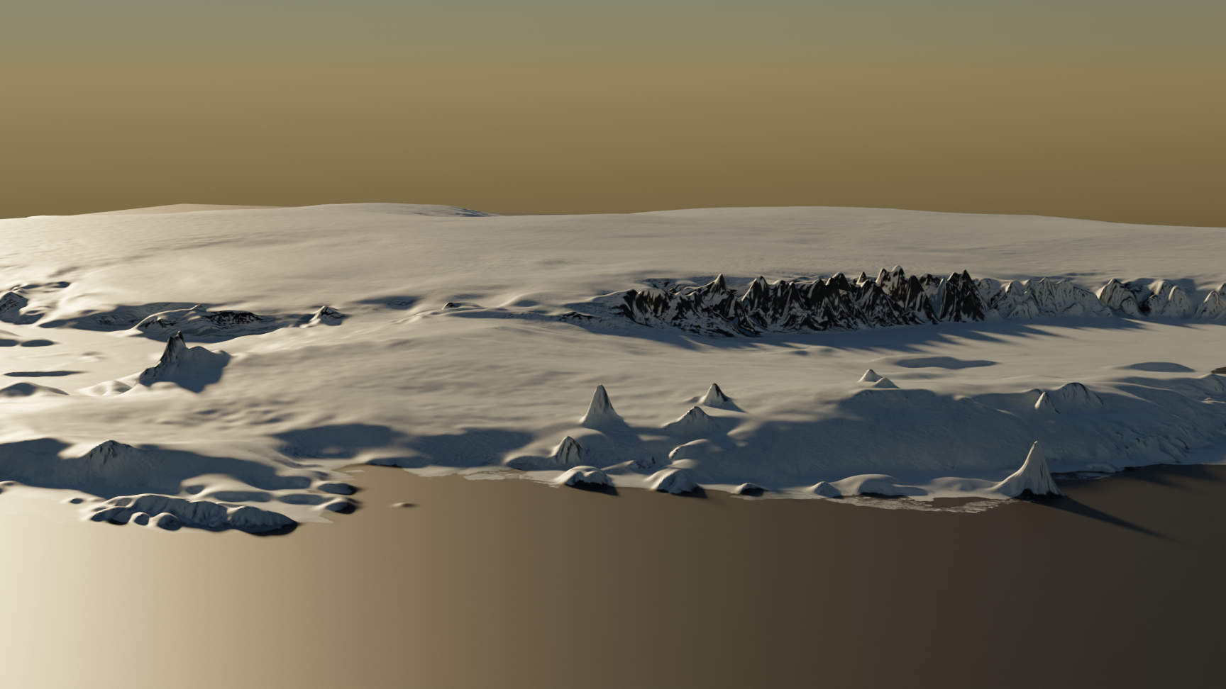
Realistic view of Amundsen sea in Antarctica.

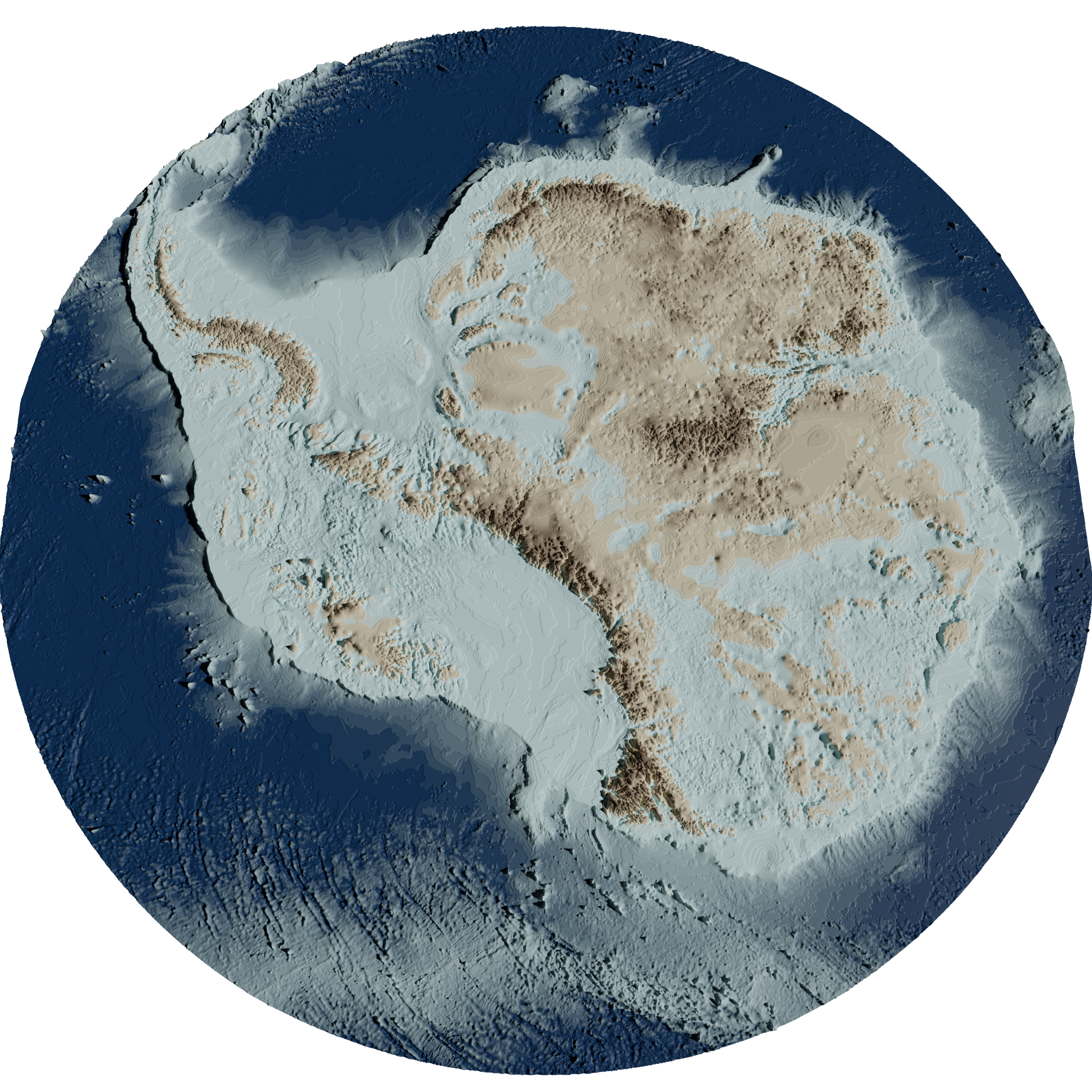
Antarctica Bedrock. Above (Brown) / Under (Blue) sea level.
Dataset: Morlighem, M. (2020). MEaSUREs BedMachine Antarctica, Version 2. Boulder, Colorado USA. NASA National Snow and Ice Data Center Distributed Active Archive Center. doi.org/10.5067/E1QL9HFQ7A8M.