Antarctica in 3D
Data Visualization
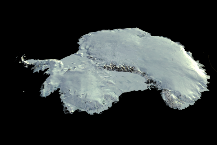
3d map of Antarctica.
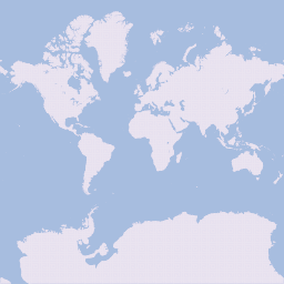
Antarctica is the fifth largest continent and likely the last to be accurately mapped. The challenge in mapping the Earth on a flat surface, such as a screen or a book, is well known. The most commonly used maps of the Earth prioritize accurately representing the inhabited land areas, resulting in a compromised depiction of Antarctica. As a consequence, the shape of the continent is unrecognizable. This realization prompted the creation of an accurate 3D map of Antarctica. I utilized Blender, a 3D computer graphics software, to create a numerical model of the continent that can be visualized in a web application. You can view the 3D model by accessing here.

Unreal representation of Antarctica using the Mercator projection (EPSG 3857).

Realistic 3D representation of Antarctica using the Antarctic Polar Stereographic projection (EPSG 3031).